| Source | What it holds | Cost / licence | Best for |
|---|---|---|---|
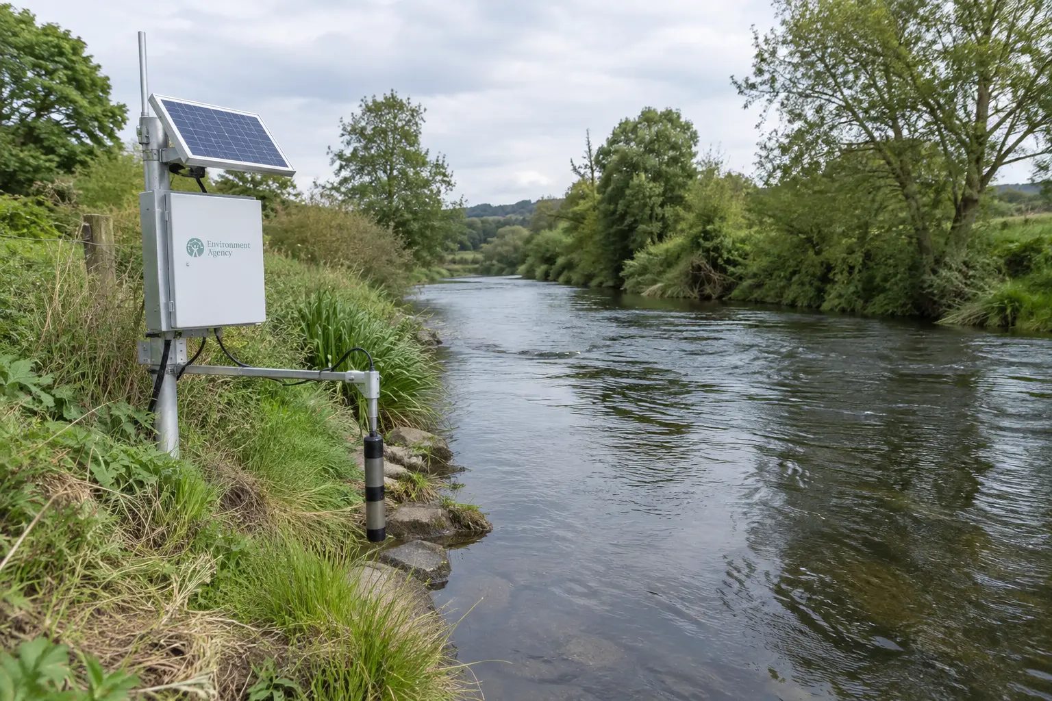
| Environment Agency / Defra Data Services Platform (environment.data.gov.uk, data.gov.uk) | Flood and river-level monitoring, water quality, air quality, land use, catchment data | Free, Open Government Licence | Water quality, flood risk, land-use dissertations |
| Met Office | Historical weather observations, climate data series, some forecast data | A free tier is available; higher-resolution or bulk feeds may need registration or a licensed feed | Climate trend and weather-impact dissertations |
| NBN Atlas (National Biodiversity Network) | UK species occurrence records aggregated from many recorders and organisations | Free and open access; licence varies by individual dataset within the Atlas | Biodiversity, ecology and species-distribution dissertations |
| UK-AIR (Defra’s national air quality archive) | Air pollutant monitoring station data (e.g. particulates, nitrogen dioxide) across the UK monitoring network | Free, Open Government Licence | Air quality and pollution-exposure dissertations |
| ONS environmental accounts | National-level environmental and natural capital statistics | Free, Open Government Licence | Policy-facing or economics-adjacent environmental dissertations |
| Copernicus / Sentinel satellite data (EU Copernicus programme) | Satellite earth-observation imagery: land cover, vegetation, water bodies | Free registration required; more technical to process | Remote-sensing or spatial-analysis dissertations with GIS skills |
These six sources were compared on four criteria that actually matter for an undergraduate timeline: whether access is free and requires no special permission, how directly the data answers a typical environmental science research question rather than needing heavy processing first, how well-documented and citable the dataset is for a methodology chapter, and whether the skills needed to use it (spreadsheet analysis versus GIS/remote-sensing software) match what most environmental science undergraduates already have by the time they choose a topic.
Ranked shortlist
1. Environment Agency / Defra Data Services Platform — the default starting point
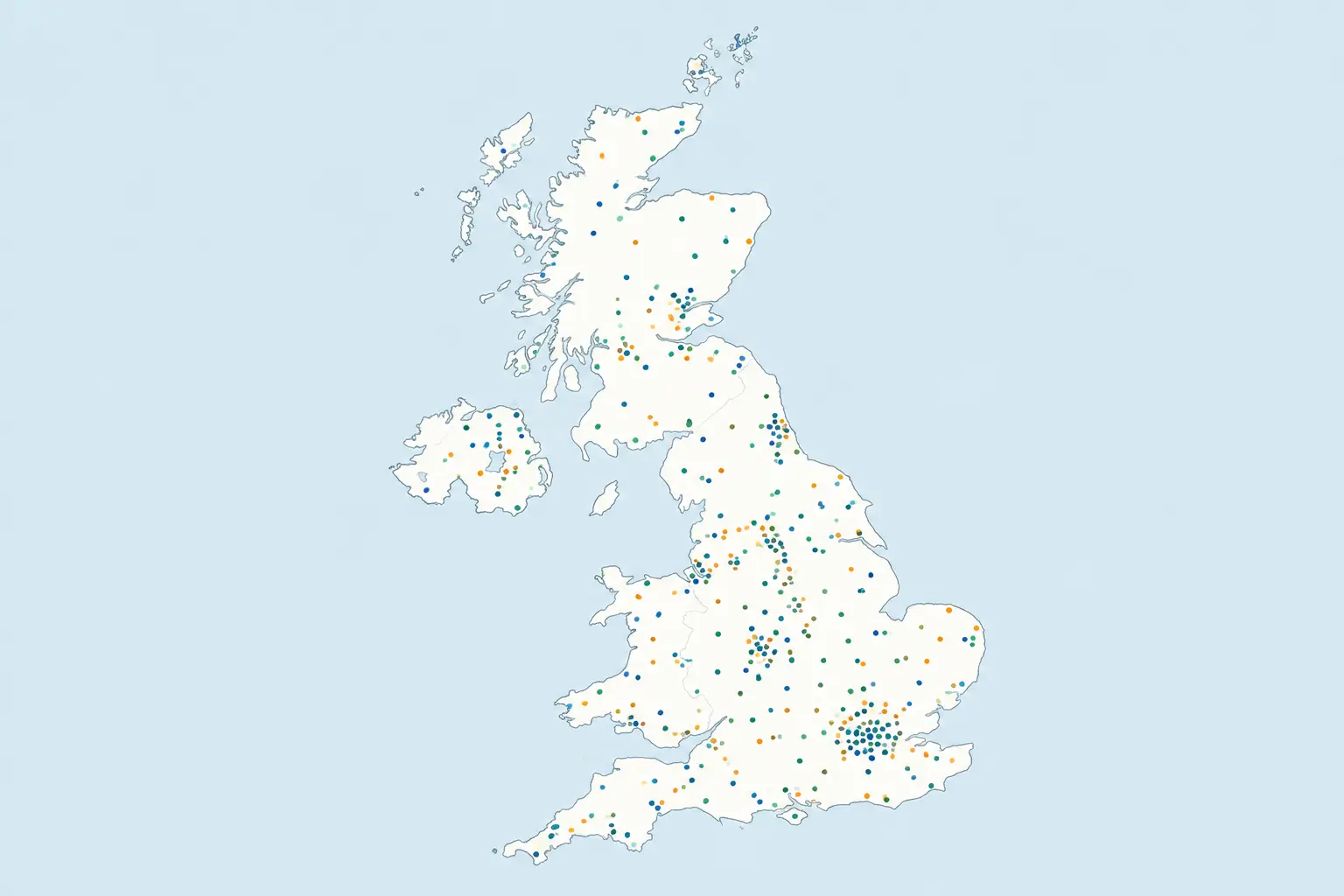
For most UK undergraduate environmental science dissertations, this is where to start: it holds the widest range of directly relevant environmental monitoring data (water, flooding, air, land) under an open licence, with no registration barrier for most datasets. It suits a student who already has a catchment, river or local site in mind and needs monitoring data for that specific location rather than a national picture. Where it falls short: coverage and monitoring-station density vary by region, so a very localised study area may have thinner data than a national-scale one — check coverage for your specific site before committing a research question to it, ideally by searching the portal for your study area before finalising your proposal.
2. NBN Atlas — the best option for anything biodiversity-related
The NBN Atlas describes itself as the UK’s biodiversity data infrastructure: it holds more than 387 million species occurrence records, shared by over 190 data partners, and is free and openly accessible. Where it falls short: because records come from many different recorders and schemes, recording effort is uneven across regions and taxa — an apparent absence of a species in an area may reflect under-recording rather than genuine absence, and this caveat belongs in your methodology chapter if you use Atlas data as evidence of distribution.
3. Met Office — the right choice for a climate or weather-impact angle
If your research question involves temperature trends, rainfall patterns or weather-related impacts specifically, Met Office data is the more authoritative national source than deriving climate variables from a general environmental portal. Where it falls short: some higher-resolution or bulk historical feeds are intended for registered or commercial use rather than casual download, so check the access terms for the specific dataset you need before assuming it is freely downloadable.
4. UK-AIR — narrow but authoritative for air quality
For a dissertation specifically about air pollution or exposure, UK-AIR’s monitoring-station data is the standard national source and sits under an open licence, with station-level time series that support a straightforward before/after or spatial comparison design. Where it falls short: it is a narrow, single-purpose resource — it will not help with a broader environmental-science question that only touches air quality as one variable among several, and monitoring-station density is uneven, so check that stations actually exist near your study area before committing to it.
5. ONS environmental accounts — better for framing than for raw fieldwork data
These are useful for situating your dissertation in a national policy or economic context (natural capital accounts, environmental taxation statistics) but are less useful as the primary dataset for a hands-on environmental science analysis. Where it falls short: the level of aggregation is usually too high for site-specific or species-specific research questions.
6. Copernicus / Sentinel satellite data — powerful, but only with the right skills
For a dissertation using remote sensing or GIS to track land cover, vegetation health or water body changes over time, Copernicus data is free and extensive. Where it falls short: processing satellite imagery requires GIS or remote-sensing software skills most environmental science undergraduates have not yet built by the time they choose a dissertation topic — confirm your own competence, or your module’s training, before committing to this route.
Our recommendation
For most UK undergraduate environmental science dissertations, pair the Environment Agency / Defra Data Services Platform as your primary source with the NBN Atlas if your question touches biodiversity at all — between them they cover the great majority of UK-based environmental science research questions without registration barriers or specialist processing skills. Reach for the Met Office specifically when climate variables are central to your question, UK-AIR specifically for air-quality questions, and treat Copernicus satellite data and ONS environmental accounts as targeted additions rather than starting points, since both need either specialist skills or a policy-framing angle to be the right fit.
How to state your data source correctly in your methodology chapter
Name the specific dataset, its publishing body, the access date, and the licence, not just the general organisation — a marker checking your reference list should be able to find the exact dataset you used. Illustrative example: “Water quality data were obtained from the Environment Agency’s Water Quality Explorer (environment.data.gov.uk/water-quality), accessed March 2026, published under the Open Government Licence v3.0.” Vague phrasing such as “data from the government” is one of the more common, easily avoidable weaknesses examiners flag in a methodology chapter built on open data. Where you combine two sources, state the join explicitly too — for example, how you matched Environment Agency monitoring-station locations to NBN Atlas grid references for the same study area, including any spatial or temporal mismatch between the two datasets, since a marker will want to see that you have thought about how cleanly two independently collected datasets actually line up rather than assumed it.
Frequently asked questions
Do I need permission to use Environment Agency or Defra data?
No separate permission is normally required for data published under the Open Government Licence, but you should still cite the specific dataset, its publisher and the licence in your methodology and reference list.
Is NBN Atlas data reliable enough for a dissertation?
Yes, provided you acknowledge its limitation directly — recording effort varies across regions and species groups, so an apparent gap in the data may reflect under-recording rather than a genuine absence, and stating this explicitly is exactly the kind of critical awareness markers reward.
Can I combine data from more than one of these sources?
Yes, and for many environmental science dissertations this is the stronger design — for example, pairing Environment Agency water-quality data with NBN Atlas species records for the same catchment area, provided you are clear in your methodology about how the two datasets relate to each other.
Do I need GIS software to use any of these sources?
Not for the Environment Agency, NBN Atlas, Met Office, UK-AIR or ONS data, which are usually usable directly as tables or downloadable files. Copernicus satellite imagery is the exception on this list and generally does need GIS or remote-sensing software to process meaningfully.
How current is the data on these platforms?
Update frequency varies by dataset and platform — some monitoring data updates near-real-time, other statistical series update annually. Check the specific dataset’s own metadata for its update frequency and most recent data point rather than assuming currency.
Should I use primary data collection instead of these sources?
That depends on your research question and your department’s expectations for the module — but for many undergraduate environmental science dissertations, working with an established open dataset is a realistic, well-supported alternative to primary fieldwork, especially where fieldwork access, equipment or a full field season are not feasible within the timeline.
What if the data I need is not covered by any of these six sources?
Check your university library’s own subject guide for environmental science, since some more specialist datasets (a particular catchment authority, a specific conservation charity’s survey data) sit outside the national platforms above and may need a direct request to the organisation that holds them.
Do these sources work for a dissertation outside England?
Coverage and the exact publishing body vary across the UK’s nations — some datasets above are England-specific (Environment Agency), while others (Met Office, NBN Atlas) have UK-wide coverage; check the specific dataset’s geographic scope before assuming it covers Scotland, Wales or Northern Ireland equally.
Is satellite data free to use for a student dissertation?
Copernicus/Sentinel data is free with registration, but check the specific licence terms for the product you download, since some derived or higher-tier products carry different conditions from the raw open data.
Can I cite a government data portal itself, or do I need to cite the underlying dataset?
Cite the specific dataset (its title, publishing body and access date), not just the general portal name — “data.gov.uk” on its own is not a citable source, but the named dataset you downloaded from it is.
What happens if a dataset I relied on is updated or removed after I access it?
Download and keep a local copy of the exact data extract you used at the point of access, along with the access date, so your results remain reproducible even if the live portal later updates or removes that version of the dataset.
Where this fits with the rest of your dissertation
If you have not yet decided which discipline-specific data catalogue best matches your subject more broadly, our pillar guide to UK data sources for a dissertation by subject covers the equivalent decision across other fields. If your project sits closer to engineering than pure environmental science (flood defences, water infrastructure, energy systems), our guide to UK data sources for an engineering dissertation covers the adjacent standards-bodies and repositories relevant there. Before you finalise a literature search around whatever dataset you choose, our comparison of where to search for dissertation literature covers the academic databases you will still need alongside an open dataset, and if your project needs access to a licensed rather than fully open resource, our guide to accessing the UK Data Service explains how that registration process works.
Writing this section with Tesify
Tesify helps you cite your chosen dataset correctly in your methodology chapter and helps you think through how two data sources relate to each other in your design. Over 9,000 students have used Tesify across more than 15,000 dissertation chapters, and every dissertation on the platform is 100% written by you.